tableau

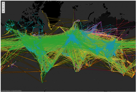
World Air Routes in Tableau

In exploring various data – I came across the World Airline Routes datasets, which I preprocessed for visualisation purposes. By using latitude and longitude locations one can produce vertices and graphs in Tableau which can easily be flipped through. The entire...

Mapping Broadband Speeds with Tableau

Sampled in May 2013, the Data.gov.uk website contains varying collections of public data. An interesting resource is the UK Broadband Coverage data which contains postcoded information on samples. Mapping the data in Tableau shows how patterns of bandwidth exist over the...